Mapping / Land Survey
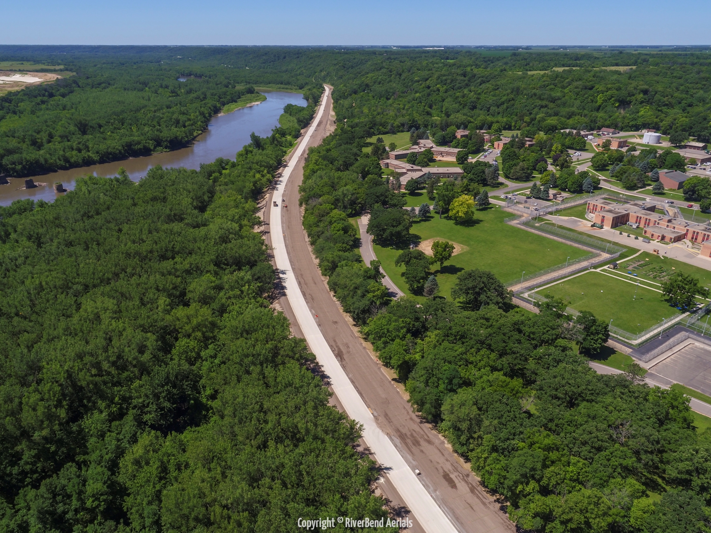
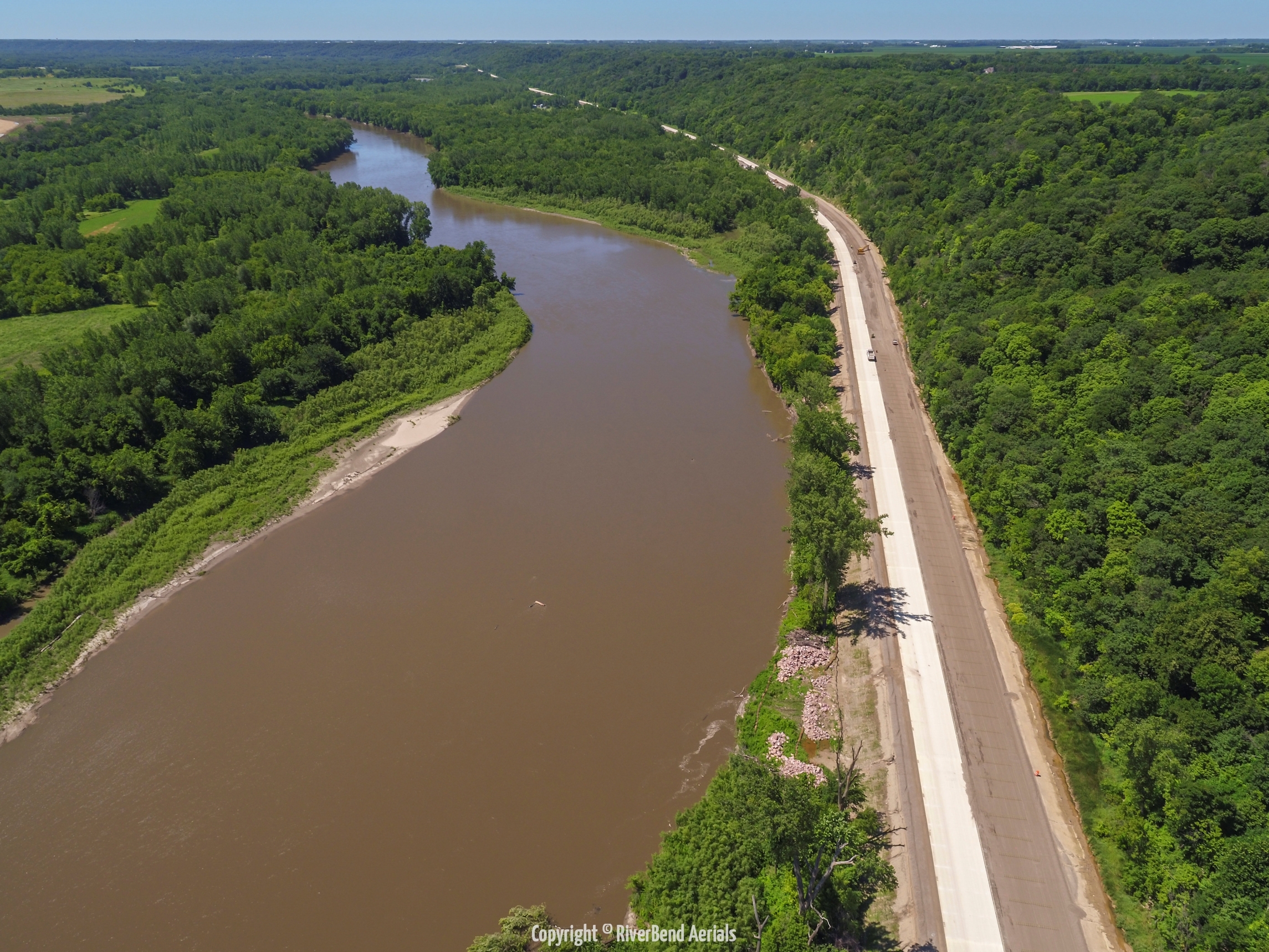
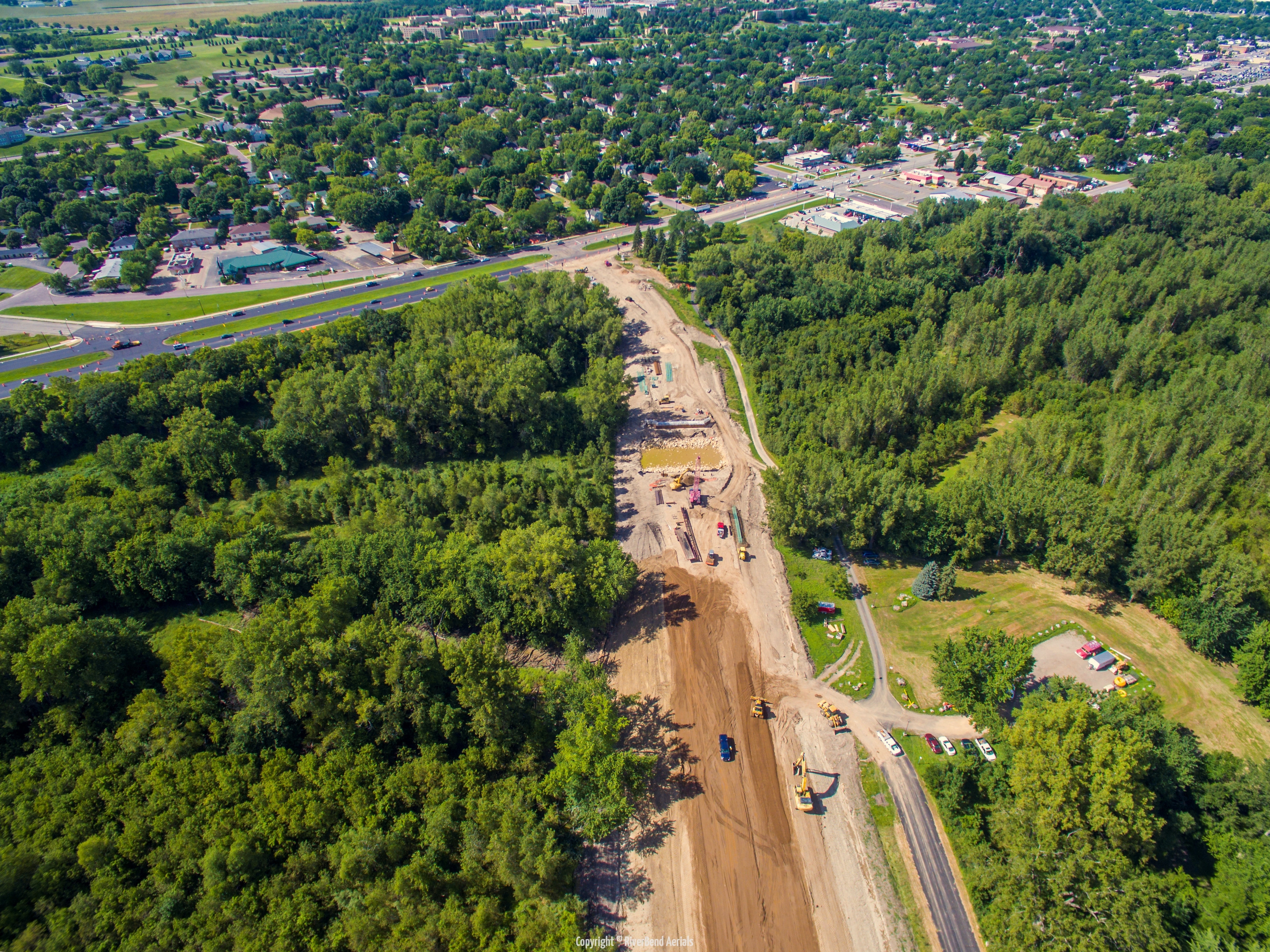
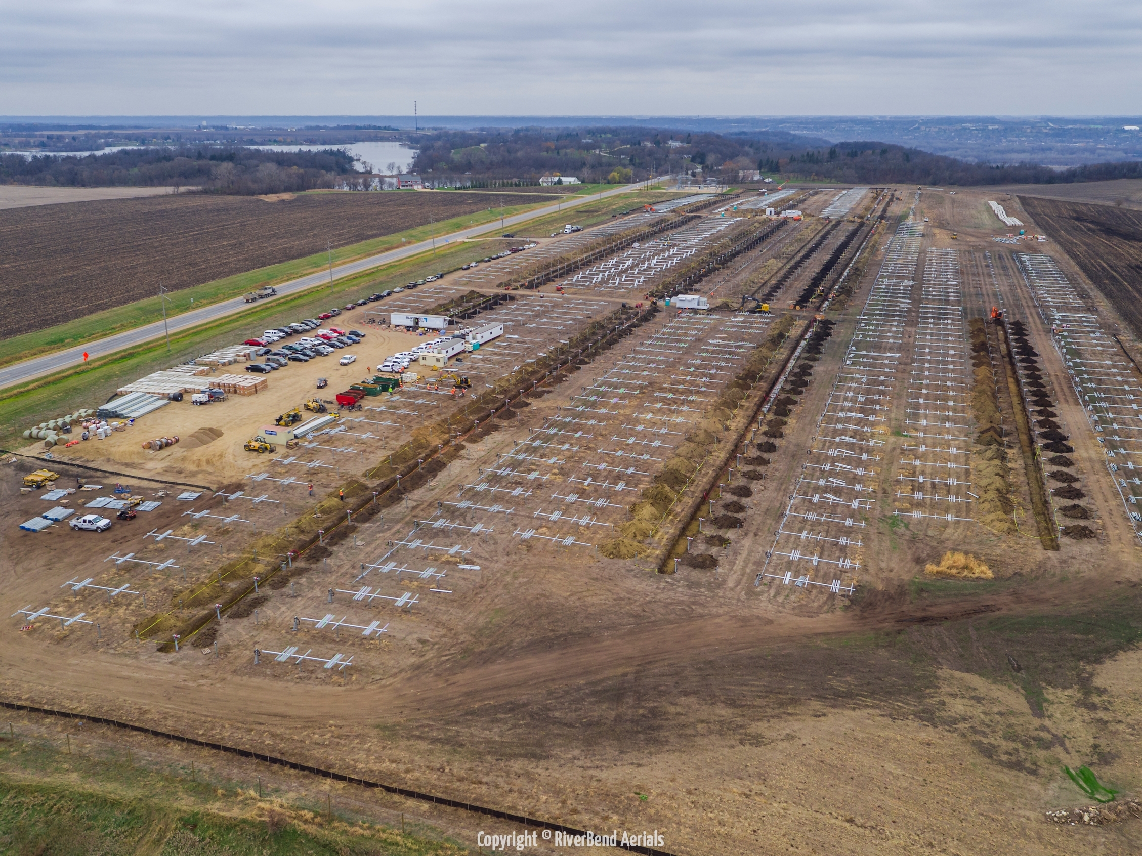
Mapping and Land Surveying is an important need by many industries. Getting the lay of the land is something that can be very helpful in many different instances and industries. Using our aerial equipment, and some very sophisticated software, we can map out just about any area of land. This allows us to provide 3D renderings of the land for whatever use you need.
Our aerial equipment can get into areas that would be difficult or at the very least, time consuming to get to. Saving you time and money, but still getting you the visual information you need.
Whether you want to map out a possible construction site, or looking for a suitable path for a potential trail or power lines, we can get you the perspective that you would not otherwise have.
We will work with you during the surveying to ensure that you are getting the view that you want. Our equipment will allow you to see what you want while we're in the air. Meaning we won't have to waste your time by reviewing footage after we've returned only to find out we need to attempt the survey again.
Some cases or industries where aerial mapping/surveying would be helpful:
- Agriculture – Mapping out remove fields for current or future growing seasons planning.
- Power Companies – Surveying proposed or current power line routes.
- Natural Gas Companies – Surveying/Mapping proposed or current natural gas pipelines.
- Wind Power Generators – Mapping proposed turbine sites to ensure safety.
- Department of Transportation – Surveying current or future road paths.
- Department of Natural Resources – Surveying or Mapping of wildlife areas that are inaccessible or hard to visit.
Depending upon the pilot and equipment used, RiverBend Aerials can provide up to 20 mega-pixel still images and up to 4K (60 frames per second) video.


